
US Border – Eagle Village – Slavens Roadhouse
| Start time: | 3:57:00 Yukon Time |
| Altitude: | 289.0 metres |
| Time Stopped: | 7 hrs 51 mins |
The new day started with no sign of the shoulder problem from the previous day. I’d woken in the middle of the night and lain there considering an evacuation strategy for getting us home from Eagle before drifting off again. It would probably involve walking away from the boat, but that was part of our plan anyway, so the biggest problem would have been living with Kate after being the reason she hadn’t finished, twice.
Taking a GPS reading from my watch and checking it against the maps1, we estimated that we were 45km from the Alaskan Border and 55 from the border checkpoint at Eagle. We expected Jon would be there ahead of us given the almost eight hours we’d been stopped.
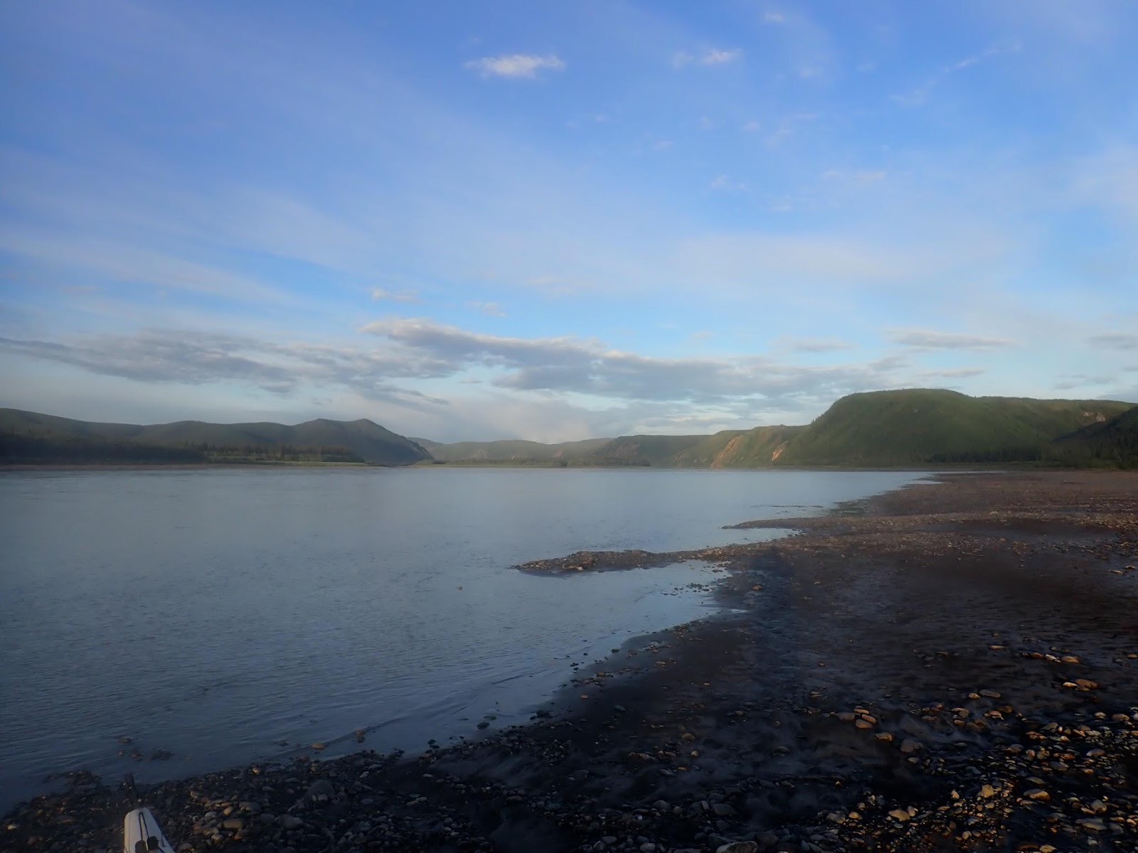
We were now onto page 4 of our maps which would cover us for the 300km to Slavens Roadhouse. The only notable features would be the US-Canadian border, and Eagle Village. The rest was just long nondescript stretches of river with occasional midstream islands.
It was on one of those nondescript sections of river that we crossed the US border into Alaska. There’s no sign, no marker posts. Without the benefit of GPS technology which automatically put our clocks back an hour, there would be no way to know we’d just crossed an international border.
The extra hour would mean we were up for a 19 hour day instead of the standard 18.
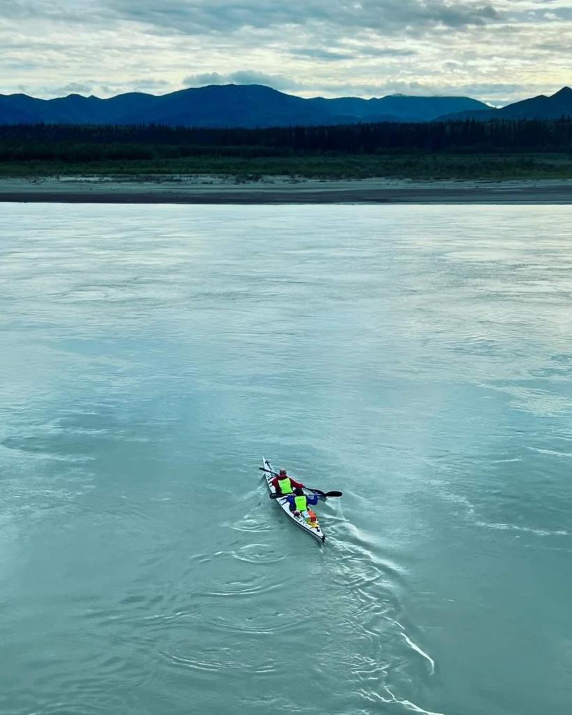
A few bends further on and we saw the first signs of houses on the approach to Eagle Village. The main village was separated from the river by a steel flood protection wall. We could see Jon perched on top of the wall waiting for us. The sat phone to border control was still down, so we didn’t need to get out of the boat, but we did need to to wait for five minutes to simulate a stop and check in.
While we waited Jon told us that there had been a SPOT activation by one of the teams overnight. In response he had contacted the two nearest teams upstream of the emergency to paddle downstream and provide assistance. When the activated teams had made contact, they found that the activation had been accidental and the team “in distress” was unaware they’d activated one of their SPOTs.
The two teams who were woken up were given some extra hours on the clock as compensation for their part in the response. I’m not sure that made up for being woken up, packing up your kit and paddling downstream in search of another team, but it’s easy to understand that other teams are the nearest respondents to an emergency.
The account came with a stern reminder that our sat phone needed to be in the tent and turned on in case race control needed to reach us. He also said that he’d be spot-checking battery levels at the finish to see who had been switching their satphones on.
We were carrying two batteries for our phone and we’d been topping it up every couple of days from a USB battery pack. We’d honestly never considered getting an incoming call in the middle of the night, and subsequently we made more of an effort to ensure that it was upright and able to receive when we were sleeping in the tent.
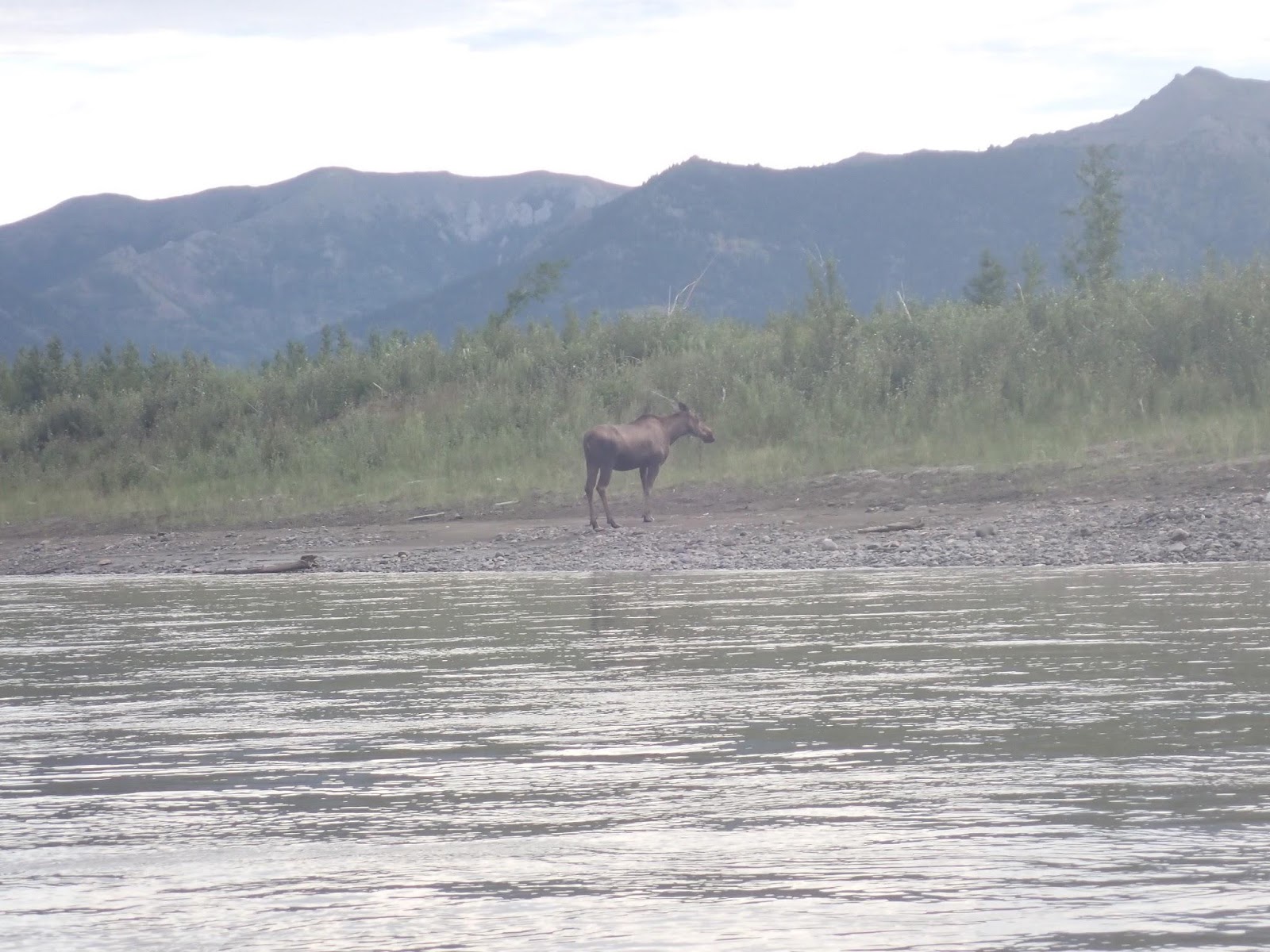
Over the next few hours, we encountered a few of the other teams, and some other paddlers who it seemed were just paddling the river without the drama of being in a race.
We passed a couple of Brits in a canoe who were lying almost horizontal on their seats because their asses hurt so much, but they were making surprisingly good speed for paddlers with such terrible form.
Mostly our encounters with other paddlers were brief. We’d see them appear off in the distance and then spend an hour slowly closing on them, before a brief exchange and moving on past them.
One thing we began to notice was that the river currents were not running as we expected them to. There were spots where the outside of the bend was running slow and parts that should have been shallow were running like they were fast and deep. Or perhaps this was the early stages of confusion and hallucinations?
We spent a lot of time alone.
The hallucinations started at about the 900km mark.
The visual hallucinations came first as usual. Patches of trees on the hillsides that start to congeal into words. “Canada” and “For Sale” spelt out in tufts of greenery.Kate saw them first, but once she’d pointed out a couple, I started to see them too. A few hours on, I was seeing words embossed into the ripples on the water. At its peak, I’ll swear that I was seeing motivational phrases. “Don’t fuck this up, it was really expensive!” was one message that is stuck in my befuddled memory of the day.
For a while it was funny. This wasn’t our first rodeo, so we weren’t too perturbed by the appearance of a few random words on a hillside. At the end of the Texas Water Safari in 2019 I’d seen a complete Aztec Temple with a priest sacrificing virgins to the Jaguar God. In the YRQ, we’d paddled past a mediaeval knight on horseback with a lance and shield.
Enjoy the hallucinations: If you’ve never done a long distance event, the first hallucinations can be be a bit of a shock. Get out before the race and do a 24 hour non-stop paddle (somewhere safe from powerboats preferably). Kate’s hallucinations usually kick in a few hours before mine, so I get some warning. Early dawn is a peak time for both of us. Initially they will be glimpses of things that disappear when you blink like a tree stump that looks like a Yoda fishing from the riverbank. They eventually develop into persistent visions that don’t go away. This is probably the point to accept that you need some sleep, or you’ll find yourself changing course to avoid the McDonalds Driver Thru. Auditory hallucinations are somewhere between persistent visual and a probing encounter with little green men.
We had developed a hallucination rule: If you see anything that makes you want to jump out of the boat, talk to your partner first. Otherwise, enjoy the show.
To combat the hallucinations, we started talking.
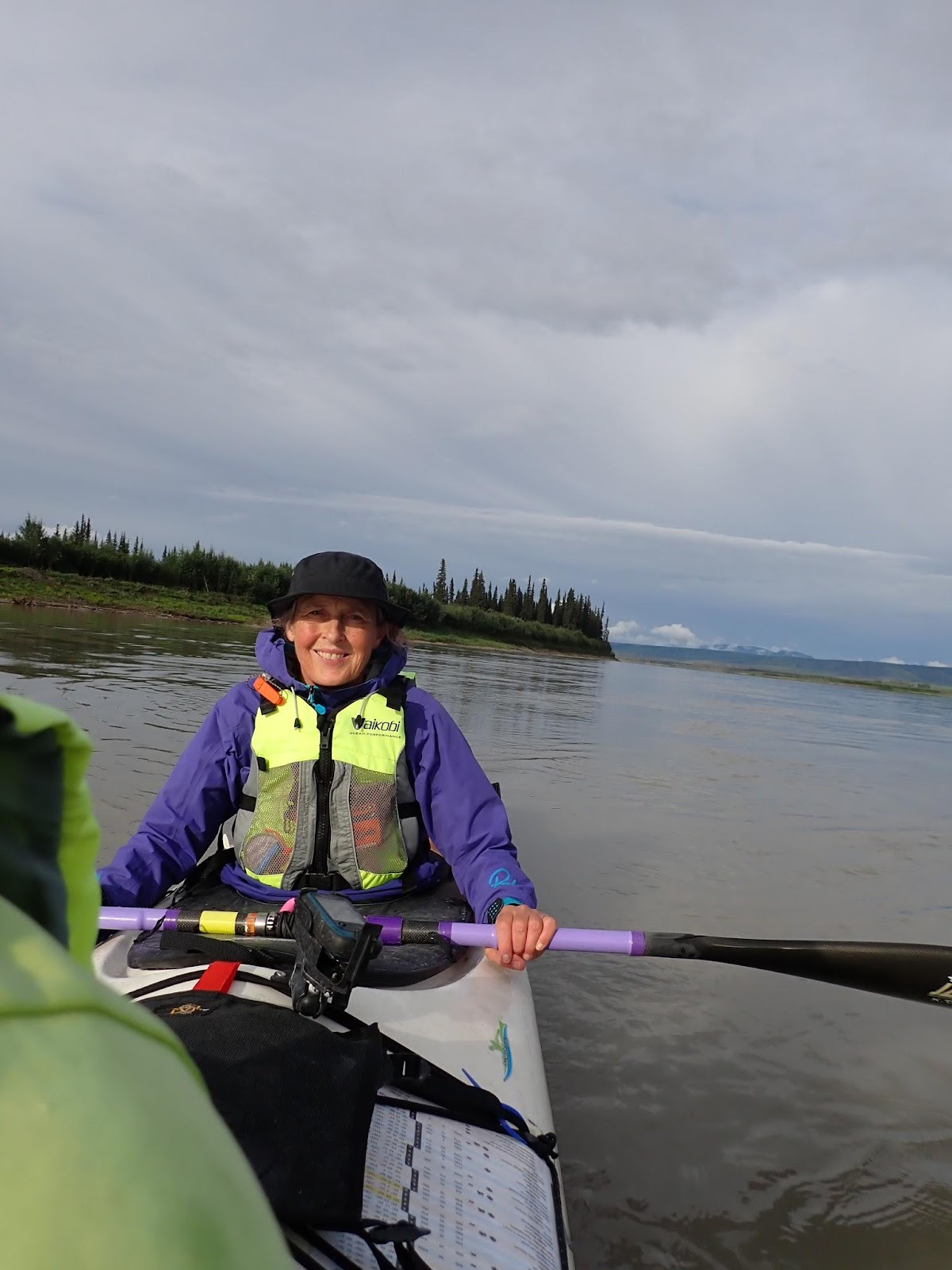
Unlike some teams, we don’t generally feel the need to talk very much in the boat. We’ve been married for 30 years, and there isn’t a lot that remains unsaid between us. As paddlers, we’ve been in doubles off and on for over a decade and almost exclusively for the past five years, so we don’t need to talk about what we’re doing in the boat. We each have our roles and just get on with it. Like Siamese Twins joined at the boat, we know what each other are doing from the slightest twitch of shift of weight.
In this case, the slight twitch I was getting was from Kate having microsleeps in the back of the boat. So we talked.
I did a lot of the talking. I talked about my earliest memories from childhood until the time we met. Growing up on a farm, neighbours, the local community, going to school, friends at school. Almost 20 years of my life before Kate. She did the same. I think we both discovered things about each other that we’d never known despite 30 years of marriage. It started as a way to pass the time, but became the part of our Yukon experience that affected me the most.
I talked about some things in my early life that I had never talked about, somehow the silence and the distance gave me time to retrace the paths through my early memories which lead to the things I’d never spoken about to anyone. Now I’ve shared them with Kate.
By early evening the auditory hallucinations had started, the sound of my paddle jacket rustling as I stroked from side to side was chanting words in my ears. One of the weirdest ones was “Finance.. Auditors… Finance… Auditors…”. It changed from time to time, usually after we paused for something to eat and drink. “Sour-gum… Oscillate… Sourgum… Oscillate…”. Just gibberish being formed from the “swish-swish… swish-swish” rhythm of the friction. 65 beats a minute, hour after hour after hour.
“Dum-dum… Dumpty-dum… Dum-dum… Dumpty-dum”
In the midst of the befuddlement, we discovered that when I’d stepped out the distances on our maps, I’d added the marker for 950km twice. Once on page 4 and again on page 5. That meant that from 950km onwards, our total distances were out by 50km. About 4 hours paddling.
Oops.
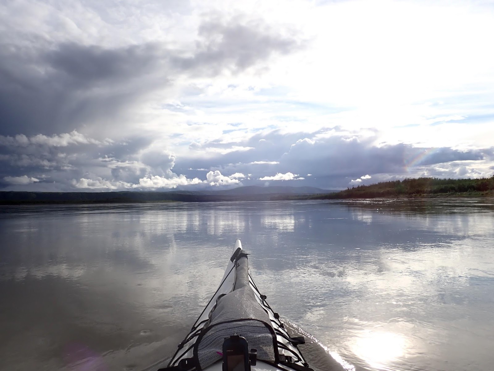
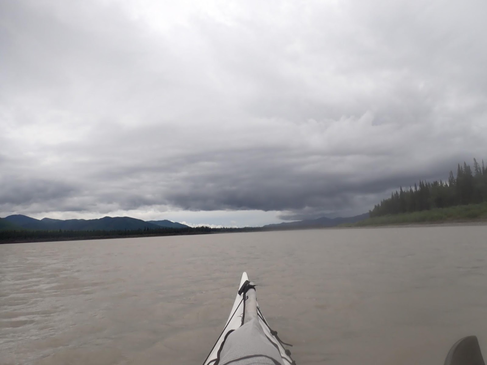
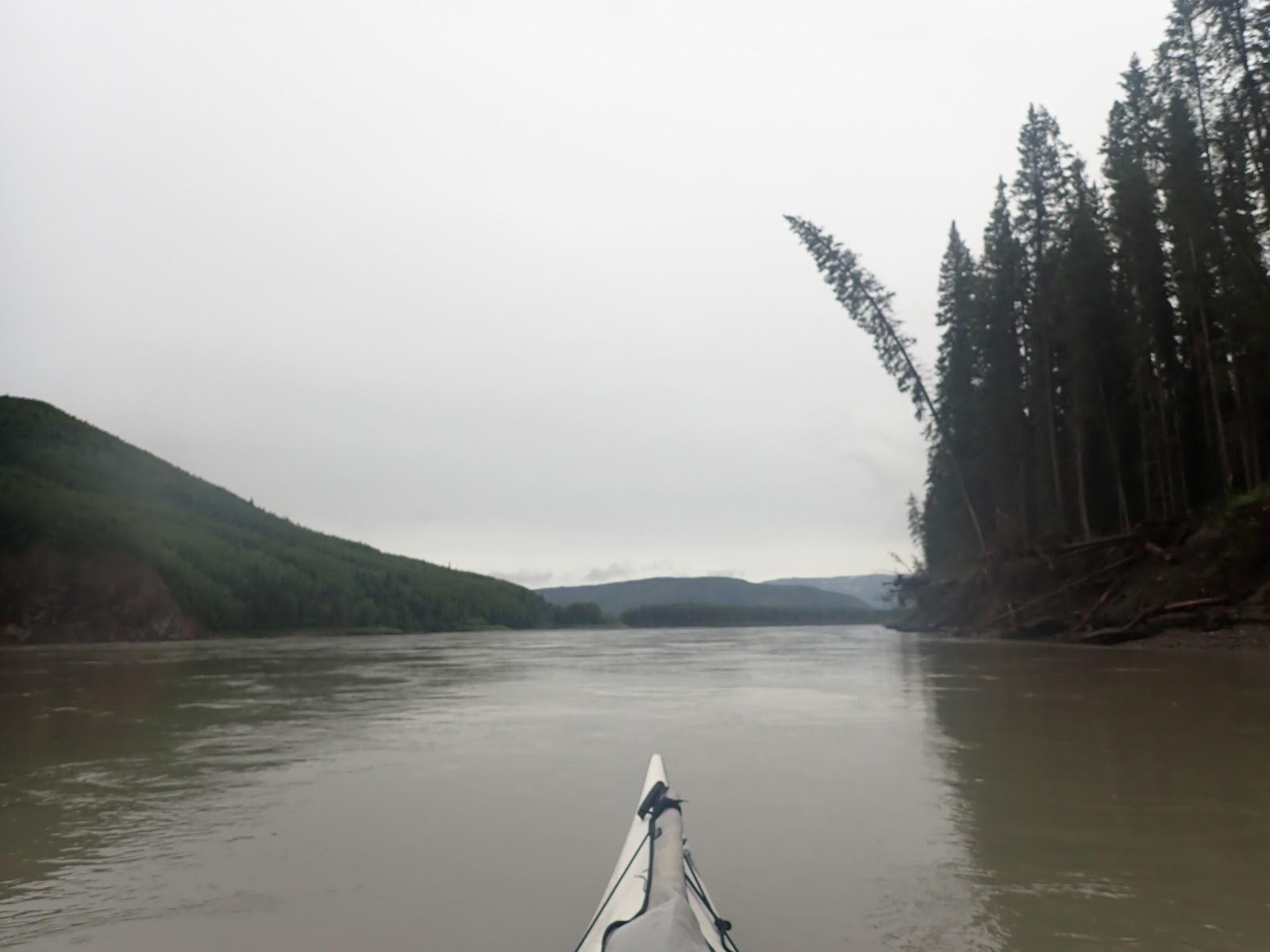
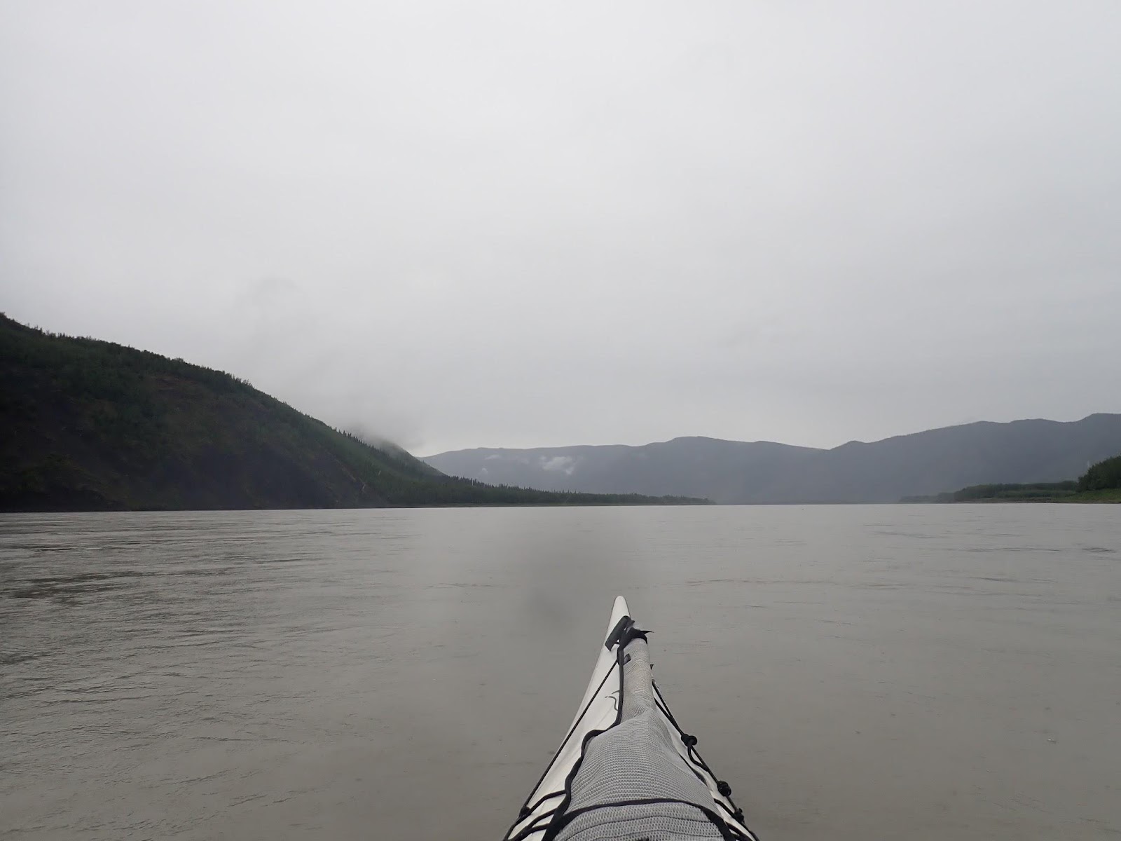
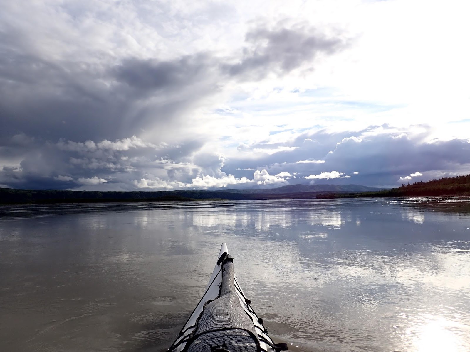
The day wore on and we continued paddling through wide gorges flanked by ranges. The occasional river flat marked the emergence of a river of stream. The course of the river was fairly straight forward, the best channel usually obvious on the GPS. The scale of the river was starting to change. A decision to take the left channel around an island would commit you for several kilometres. There were a number of spots where we could see our way into a channel but couldn’t see through to where it merged back with the river.
Now well past Dawson City and a part of the river we’d never experienced, we were trusting a GPS route I initially laid down several years earlier2. We were a little relieved to observe the height and age of the trees on the islands . The river might change with the annual ice-thaw, but the significant islands had been in the same place for 20 or 30 years.
We saw a few other paddlers, mostly other teams, but occasionally travellers on the river who seemed bemused by the boats that steamed past their idyllic campsites and continued downriver without stopping.
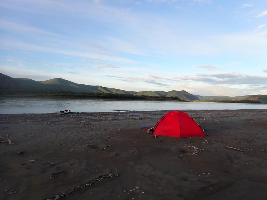
Our campsite for the night was some distance past Slavens Roadhouse. We’d come through a narrow section of river with cliffs on either side and emerged amongst some islands.
Due to the low water levels, we had to push off our plotted course to avoid some dry gravel bars that joined a group of islands. One gravel bar looked quite inviting as a campsite, but we kept moving because the bar formed a land bridge between the main shoreline and the adjacent island. It was the sort of bridge where you might expect to see a bear. The unconnected islands offered little in the way of flat beaches, making us wonder where the camping spots would be if the water was higher. Add another metre to the water level and most of the gravel would be submerged while the tall banks were still 2-3 metres out of reach.
We settled for another gravel bar with no trees and a little patch of silt that looked inviting. There were no stones poking up into our sleeping mats and nowhere for a bear to hide. That’s four star accommodation for the Yukon 1000.
| Stop time: | 23:00:16 Alaskan Time |
| Moving time: | 19:03:16 |
| Distance: | 234.5 km (145.7 mi) |
| Average speed: | 12.2 kph |
| Campsite: | 65° 22′ 47.46″ N, 143° 29′ 2.47″ W (past Slaven’s Roadhouse and about to turn north to Fort Yukon) |
| Race Position: | 16th |
| Distance Completed: | 625 mi |
Help encourage more posts by buying Steve a coffee…
Choose a small medium or large coffee (Stripe takes 10% and 1% goes to carbon reduction)
Or enter a custom amount
Your contribution is appreciated.
Donate- Our mapping may be a little unconventional. We have a set of topo maps for the course that runs to about 60 pages. Two copies printed on waterproof paper in waterproof map sleeeves, they’re stowed in the boat. We’ve never referred to them but we have them. The Yukon section is a 1:160K from the Territory GIS. The Alaskan section is from the USGS mapping at about 1:100K. Then we have 6 pages of maps which cover the entire course at 1:640K. Each page covers about 350km of river. One of these pages is taped to the deck. ↩︎
- We’d been on the starting list for the 2020 Yukon 1000, which had been cancelled by COVID. Our maps had been ready to go since January 2020. ↩︎

One thought on “2024 Yukon 1000 – Day 5 – Tuesday”