
Fort Selkirk – Coffee Creek – White River – Stewart River – 10km short of 60 Mile Creek
| Start Time: | 12/07/2025 04:40:58 |
| Location: | 62°37’45.1200″N 137°0’52.2000″W |
| Rest Time: | 06:39:44 – needed time for my wrist to come down |
Before turning in at the end of day 2, we’d laid our paddling gear out on the boat, hoping it would have a chance to dry overnight. We’d then woken to the sound of rain starting to hit the tent, and within moments it was obvious from the rising intensity that it was already too late to dash outside, and rescue what may have been dry gear moments earlier.
As I’ve said to many people over the years, kayaking is a water sport, why would you expect to be dry?
So… another morning, and another decision to keep the reserve thermal base layers dry, and pull on the wet cold gear from the previous day. With the rain now constant, we were paddling in our Goretex jackets which are fundamentally a wind shell. The whole “Breathable Goretex” concept being moot when our base layers were already at maximum saturation.
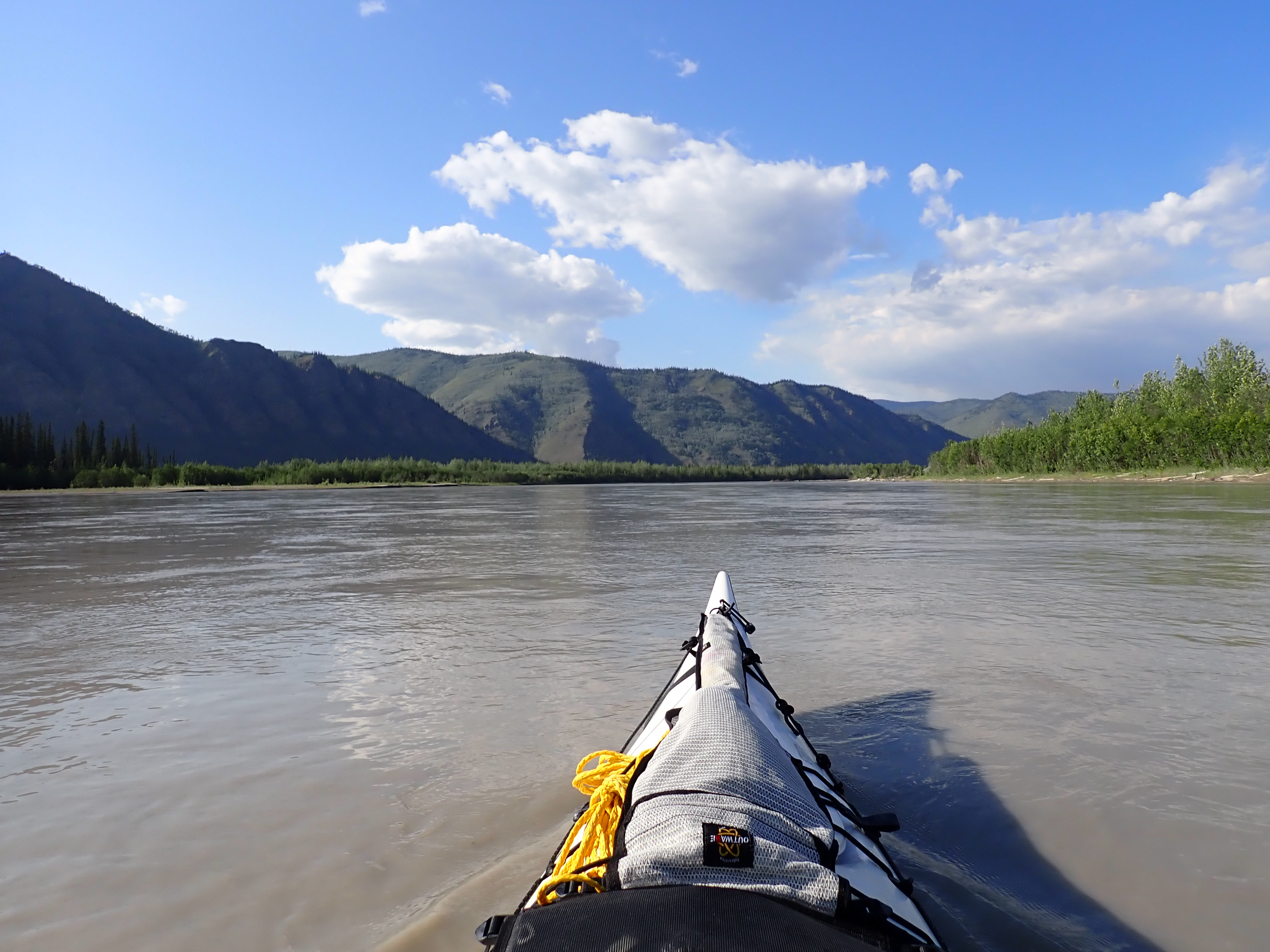
We were starting day 3 about 7.5 km (30 minutes) past the small settlement of Minto. We had 390 km behind us and just under 1100 km ahead of us. The restored trading post and mission at Fort Selkirk would be our first landmark, 40 km WNW. Then a long westerly leg would take us past the mining operation at Coffee Creek to the confluence where the Yukon is joined by the White River. From the White, the river swings north past the Stewart towards the historic town of Dawson1.
The previous year, we’d managed to get just past the junction of the Stewart River on day 3, which had seen us close enough to the checkpoint at Dawson to be well on our way to Alaska before race director Jon would start stopping teams who were not making sufficient progress to continue to the race. Jon’s policy is that it’s a race, not an opportunity for a bimble in the wilderness. This seems to stem from some past race where the tail enders were agregiously late turning up at the Dalton Bridge finish line, and the race organisers were obliged to wait for them to arrive.
We reached Fort Yukon quite early in the morning2. From 1848 to 1950 the fort was a trading post on the river and was restored as a historic site some time in the 1990s. It was briefly famous in 1943 for recording an unofficial temperature of -65 Celsius. The restored settlement sports a church and a few other buildings. I’ve regularly expressed the view that it’s a shame to pass by without stopping in to have a look around. It’s only accessible by river, so the only way that and the Yukon 1000 would converge, was if we could end day 2 40km further down river and camp at the settlement3.
Looking back at the video I recorded as we paddled past, that walk around is never going to happen. Kate is on the video, clearly stating that we were never coming back4.
The genesis of that statement was a conversation about the problems we were both now having with our wrists. Having engaged in a little one on one racing with the Little Duckers, we’d pushed oursleves a bit harder than we should have in a kayak laden with provisions and back country gear.
We were both experiencing some degree of discomfort that could generally be ignored, as long as we had something to distract our attention from it. Talking about our wrists wasn’t really ticking that box.
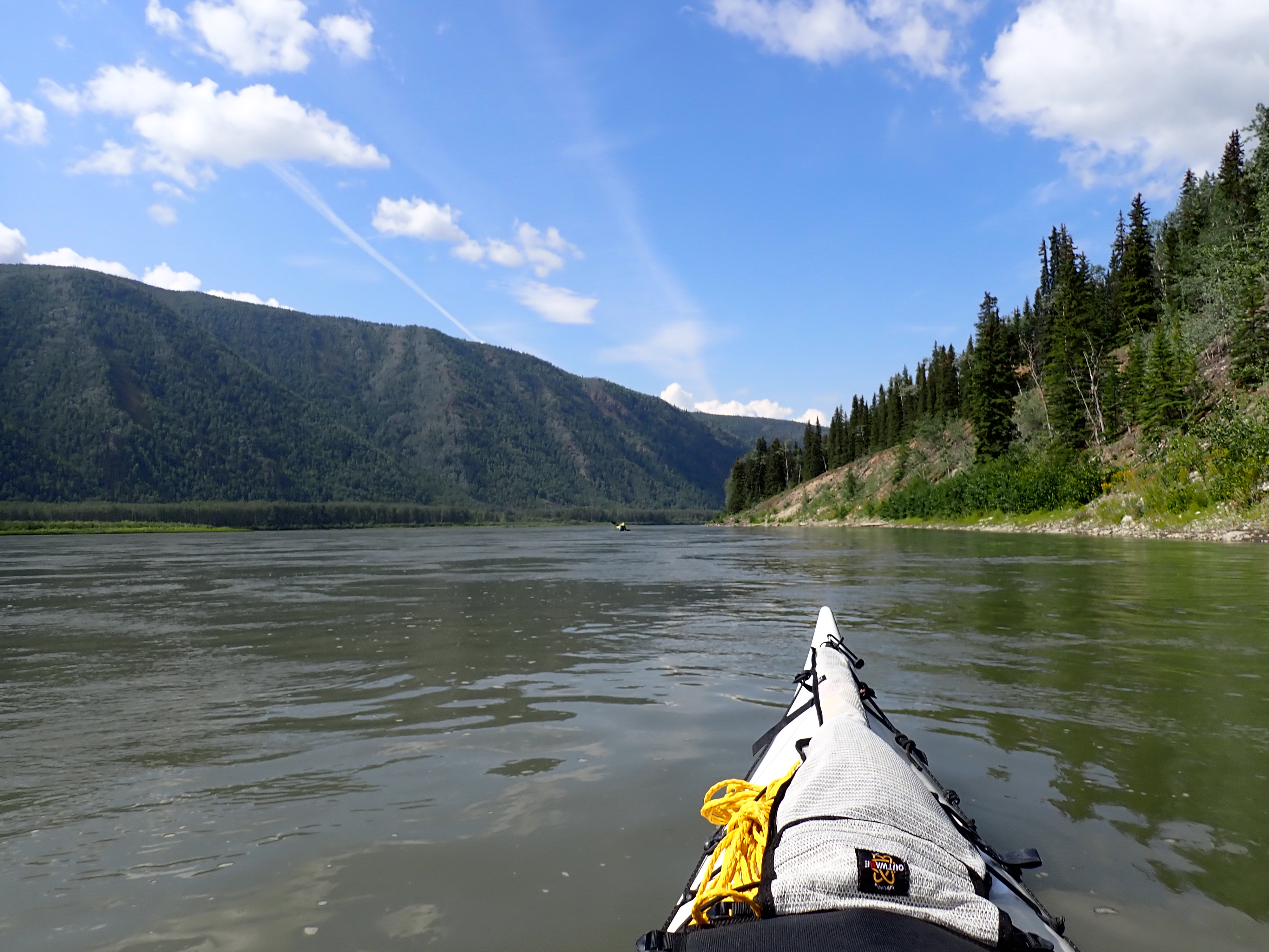
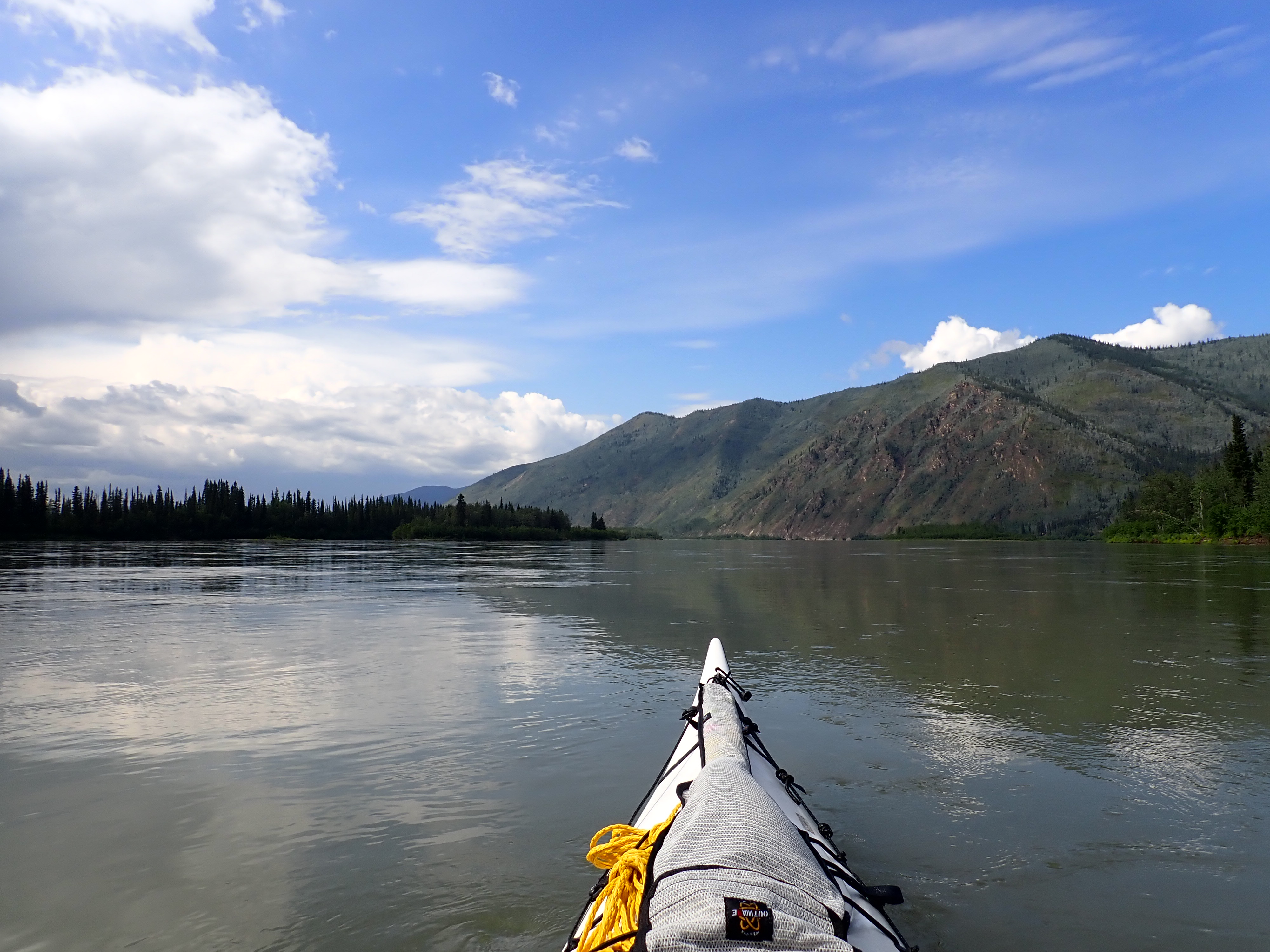
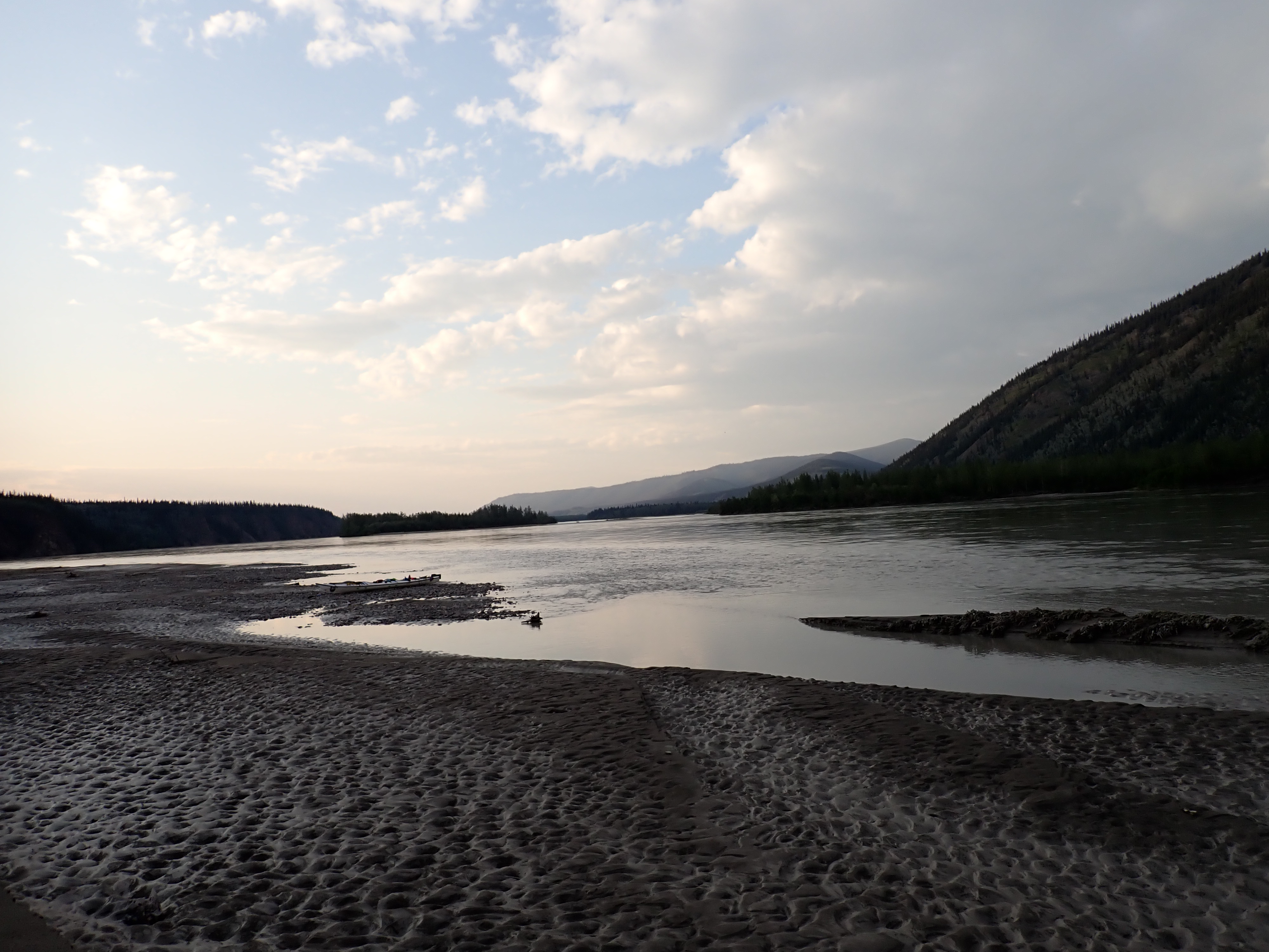
From Selkirk to White River the river is broad and cuts a deep valley flanked by steep rocky hill sides. Occasionally the river is bifurcated into channels by midstream islands. Each split presents racers with a choice of which channel to select. Approaching the island, teams get to choose between left and right. Sometimes one channel would be distinctly wider, indicating a greater flow volume and faster water. Sometimes the narrower channel would cut through the inside corner of a long bend and present a shorter path than it’s larger sibling.
There are relatively few places where a poor decision will cost you more than a handful of minutes before the channels converge into the main flow again.
Because the river has cut an erosive valley into rock, the river is well represented on topographic maps. The margins don’t change and the midstream islands sport tall stands of trees, seemingly immune to the ravages of flooding and ice break up which scours the area each year when the river thaws. There’s some variation with water level, but the steep banks minimize that as well.5
Mid morning saw the sun come out which lifted our spirits as well as the ambient temperature.
There had been fires burning a long this section of river last year and I’d spent a fairly unpleasant eight or nine hours paddling in wildfire smoke while the temperature soared into the mid 30’s.
With the temperature now probably in the high teens, we were paddling comfortably and enjoying the scenery and solitude of having the river to ourselves.
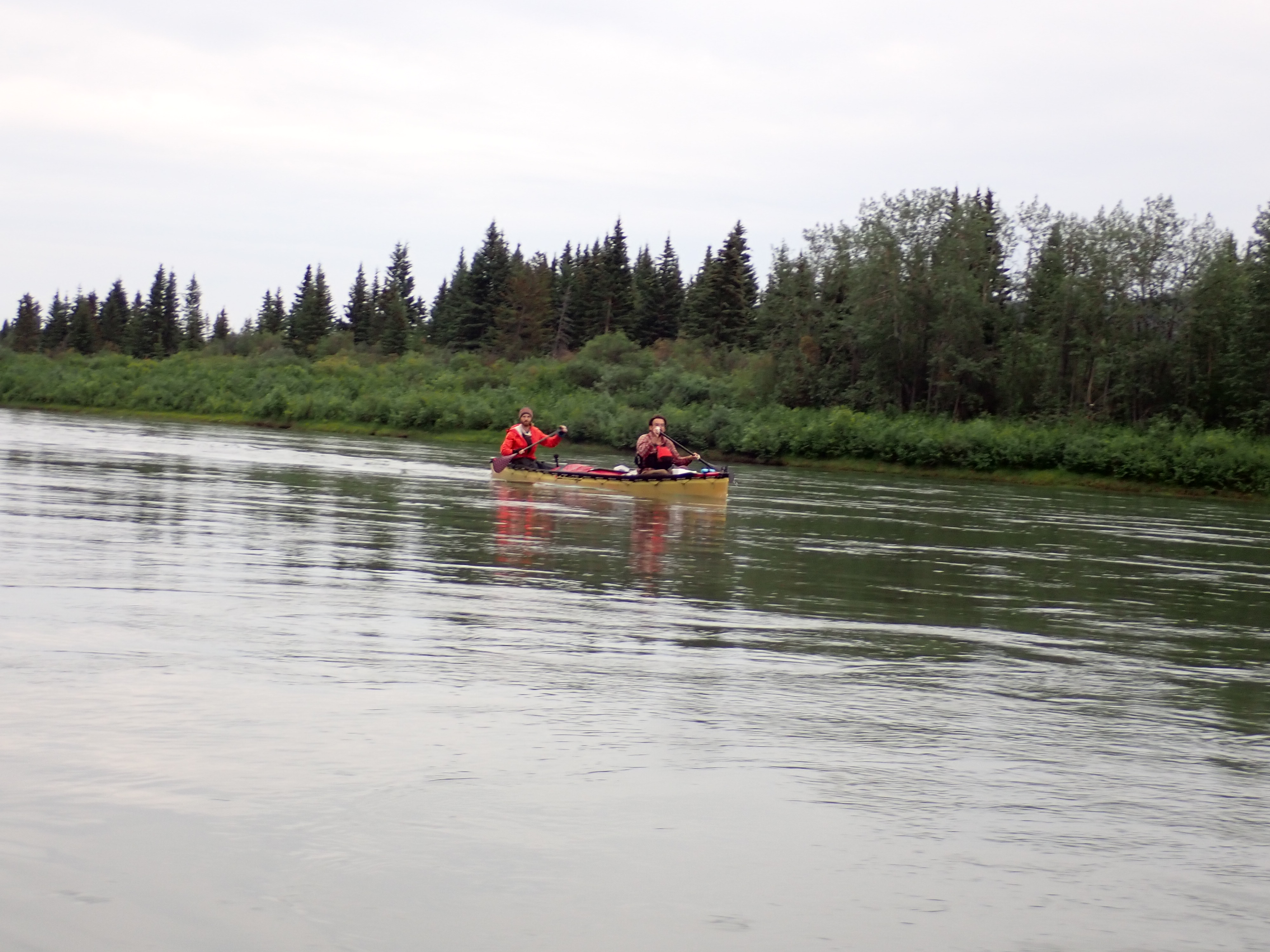
The Duckers were the first to invade our solitude, unexpectedly becoming visible a few kilometres ahead of us on the river.
There’s always a period of doubt when you think you’ve spotted another team in the distance. Despite the coloured livery of the boats and lifejackets which are regulated to be in high visibility colours6, the human eye is evolved to see movement, so the first sign of another kayak team is the flash of a paddle as it passes through the top of the stroke arc. Often it’s a literal flash, as the sunlight flares on the wet blade of the paddle. Canoes are slightly harder to spot as their paddles stays low to the water most of the time. There’s a flash as they lift at the back of the stroke, but often obscured by the hull of the boat unless you’re directly behind them.
Depending on your level of exhaustion and how fatigue is manifesting as visual hallucinations, a potential sighting will resolve itself into a branch bouncing in the current or a ripple on the water as you close the distance. How fast you close the distance on your suspected quary is usually the first indicator as to whether it’s another team. Closing too quick and it’s likely a phantasm.
We were gaining on the [possible] Duckers quite quickly, unless they were on a break. Soon the identity of our potential contact was confirmed by the strains of music we were hearing.
It wasn’t long before we were pulling even with them and both teams settled into the same constant exchanging of positions which we’d had the day before. Occasionally we’d diverge as we chose different paths around islands and I’m guessing we were both using the cover of those islands to surge ahead and try to shake the other team off. As we’d observed many times the previous day, the Duckers could turn on some speed and surge away before it was interrupted by some necessary activity that would see us plodding past them and into the lead again. They still seemed to be trying to dry the gear that had been soaked on Lake Laberge on day one.
Throughout the morning there was enough time spent within hailing distance to pass the time chatting about where we called home and a few common friends from the international paddling community.
Jon Astbury got a mention.
We last saw them pulled over on a grassy island doing something which again seemed to involve trying to dry wet gear in the sun.
Barely 10 minutes later, localized squall raged in from the North deluging the river with a torrent of rain. We still had our jackets on from the morning, which saved us from a drenching. Looking back to where we thought the girls were pulled up, we realized that we’d only been brushed by the squall. It had barely clipped the tail of our boat as we paddled out of its path. By contrast, we could see that anybody who was on the 10 km of river immediately behind us would have felt like they were ground zero for a weather bomb.
The girls probably had wet gear again. It had rolled in very fast.
Later in the day Couer des Boys appeared from behind us as we were taking a fuel stop in the vicinity of Coffee Creek. They were making good speed which seemed to be disproportionate to the easy way they were paddling.
I’ll admit the fact that they seemed so effortless was setting my brain on fire and making me question my reading of the river’s currents. We were pushing quite hard and they seemed to be keeping us in their sights even when they were drifting.
The harder pushing was also aggravating our wrist problems. It was getting quite concerning. Manifesting as an ache across the tendons that run from the back of your hand to your lower forearm, it had developed into a sensation which would intermittently explode as a sharp spike of pain. We were finding ourselves taking a 2nd five minute break each hour. I was spending most of that break with my hands immersed in the cold water of the river, trying to numb the pain.
In a fairly desperate attempt to alleviate the problem, I swapped my paddle for the spare paddle we had stowed on the foredeck. Kate and I use the same brand and style of paddle, but in different blade sizes. Mine is a size larger7. Because we only carry one spare paddle, it’s logically one of Kate’s, which either of us can use in a pinch.
Because I was now having trouble flexing my wrist through the full range required for the paddle stroke I also changed my feather angle down from 838 to 60 degrees – after a bit of experimentation to establish what didn’t hurt and still moved the boat forwards. That probably means nothing to non-paddlers. To paddlers, the feather angle, which is the difference in between the left and right blade faces – is absolutely not something you would change in the middle of a 1000 mile race. Most paddlers acquire their angle when they first enter the sport, and carry it to their grave.
A side note at this point is that every other time we’ve raced the 1000, I’ve trained with my larger blade for most of the year and then switched down to Kate’s size for the race. I’ve learned that I need to swap a month before the race, because the different paddle size and blade geometry causes different calluses on my hands and I need to wear my hands in to avoid bad blistering.
Why didn’t I downshift this year? I’ve had a shoulder injury that I’ve been carrying since 2016 and most years it has flared up as our training distance peaked in the months before the race. This year, my shoulder has been miraculously trouble-free, so I thought I could run on the bigger blade. I was wrong. The combination of a heavy boat and racing other teams was blowing me up. Now I was trying to limit the amount of damage I was accumulating each day.
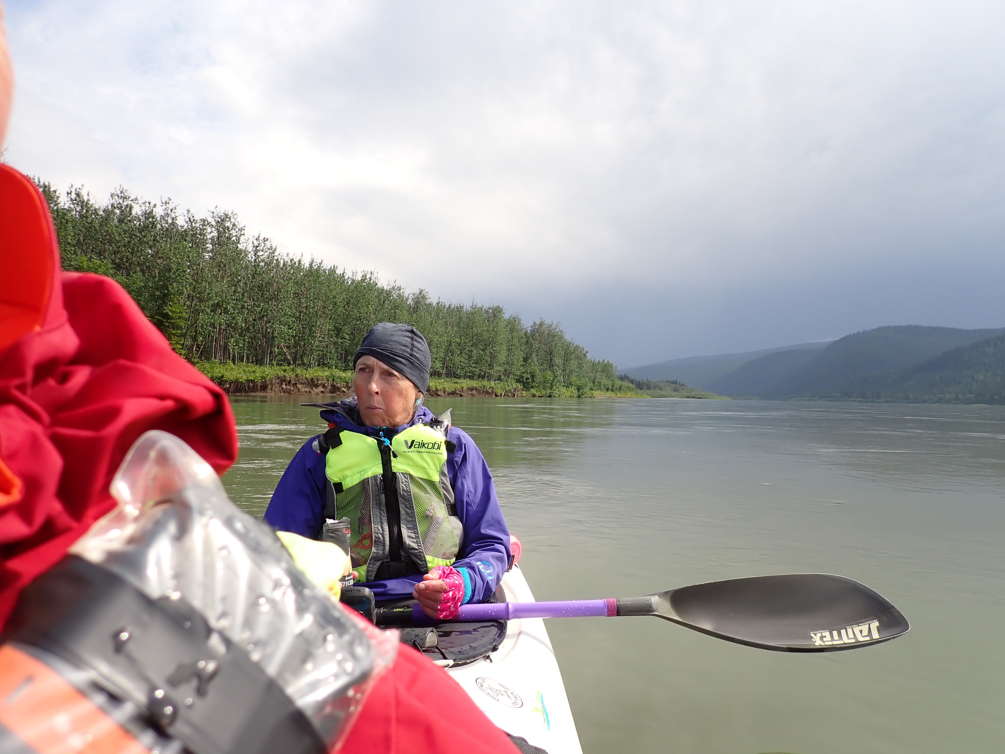
Kate was having a similar problems, which was affecting her paddle stroke and making it hard for her to stay in time – which is one of the fundamentals of team boats – They work best when you are in sync. She didn’t have a way to downshift, so all she could do was lighten up on her paddle stroke – which you can do by slicing the paddle away on a slight angle, so you can stay in sync without carrying the full weight of the blade. I’m pretty sure9 she was having her own internal conflict over “cheating” the stroke, but we both needed to dial it down now if we were going to finish.
Back to the Boys. Our line was very different to theirs . We were cutting corners to reduce the distance, while they ran wide and long on what seemed to be faster currents.
They were in and out of sight until we reached the confluence of White River, which flows from a valley on the left bank as the main river begins a long sweeping turn to the right. They went to the right, following the larger flow through the inside of the bend, and we took a smaller channel to the right.
We’d cut right the previous year, chasing the same flow as the boys and found ourselves in a maze of slow moving pools with diffused channels and shallow gravel bars. We’d lost significant time in shallow ponds trying to navigate our way back the to higher volume flows mid river. The river level had been distinctly low that year and there was a good chance that the spring thaw had obliterated that maze of gravel bars, but we’d already agreed we would never go right again.
Our plan was to take the slower flowing left channel to the point where it crossed the incoming flow from the White River. The combined flows should then give us a boost as we entered the deeper well defined channels on the left side of the river.
The first sign that there was a wrinkle in our plan didn’t appear until we were already committed to follow through. There was almost no flow flow emerging from the White.
What we’d expected was a flow that would add another 50% to the Yukon. A flow that we would have to punch across if we wanted to reach the clear channels on the left riverbanks. A flow that could normally sweep us back to the center with its sheer volume.
Instead the White was dribbling in from dozens of streams that ran over a broad sedimentary riverbed. Rather than a boost, we found ourselves entering a shallow pool which threatened to run dry before we reached the narrow braided gravel outflow channels. Across the pool we could see three outflows with enough water to be navigable. All three sported some form of obstacle to entry. Two had logs that had grounded crossways, and the third – most promising channel – was almost choked off by a long gravel shoal.
We could see that all three options had enough water going out to be navigable. The logs were obviously a surface obstruction and the outgoing water was flowing under and around them. Generally kayakers and log jams10 don’t mix. Moving water flowing through a sieve of branches can trap a kayak like a net with potentially fatal results. In this case the water was shallow and the current was too slow to present a significant hazard11. That said, if we grounded trying to sneak past, we’d need to get out quickly and pull the boat clear to get around.
After 12 hours sitting in the boat, predominantly usig your upper body, getting out involves a lot of fumbling and struggling. In a hurry, you’ll look like somebody has tied your shoelaces together.
The third route had roughly the same flow, which was a good sign. A portion of the outflow was probably filtering through the gravel shoal, but most of it would be passing through the visible gap, meaning it was deep enough to paddle through without running aground.
It’s worth pointing out at this juncture that the White River gets its name from the colour of the water that flows from it. For 575 km we’d been paddling on water that was clean and clear from mountain streams. The water from from the White carries so much suspended sediment12 that the water is literally white13. So much so that the Yukon remains opaque for the next 1600 miles to the sea. So from this point on, you can no longer see the riverbed, even when the water is only inches deep. Which means, you can’t see how deep the water is beyond this point.
Committing ourselves to the third channel we entered a fast flowing flume that was a boat length wide and a few feet deep, but was going where we wanted to be. We’d lost some time getting across the shallows and could only hope that the Boys had encountered some challenge on their side of the river, or they would now be well ahead of us.
Having attained the deep channel on the left side, we were soon back on the pace. Although we hadn’t found the boost that we’d hoped for, the steep sides and deep channel made for easy paddling and clean currents.
We were on the northerly bearing which would take us the Dawson, 700km from the start in Whitehorse, and the cutoff checkin with Jon.
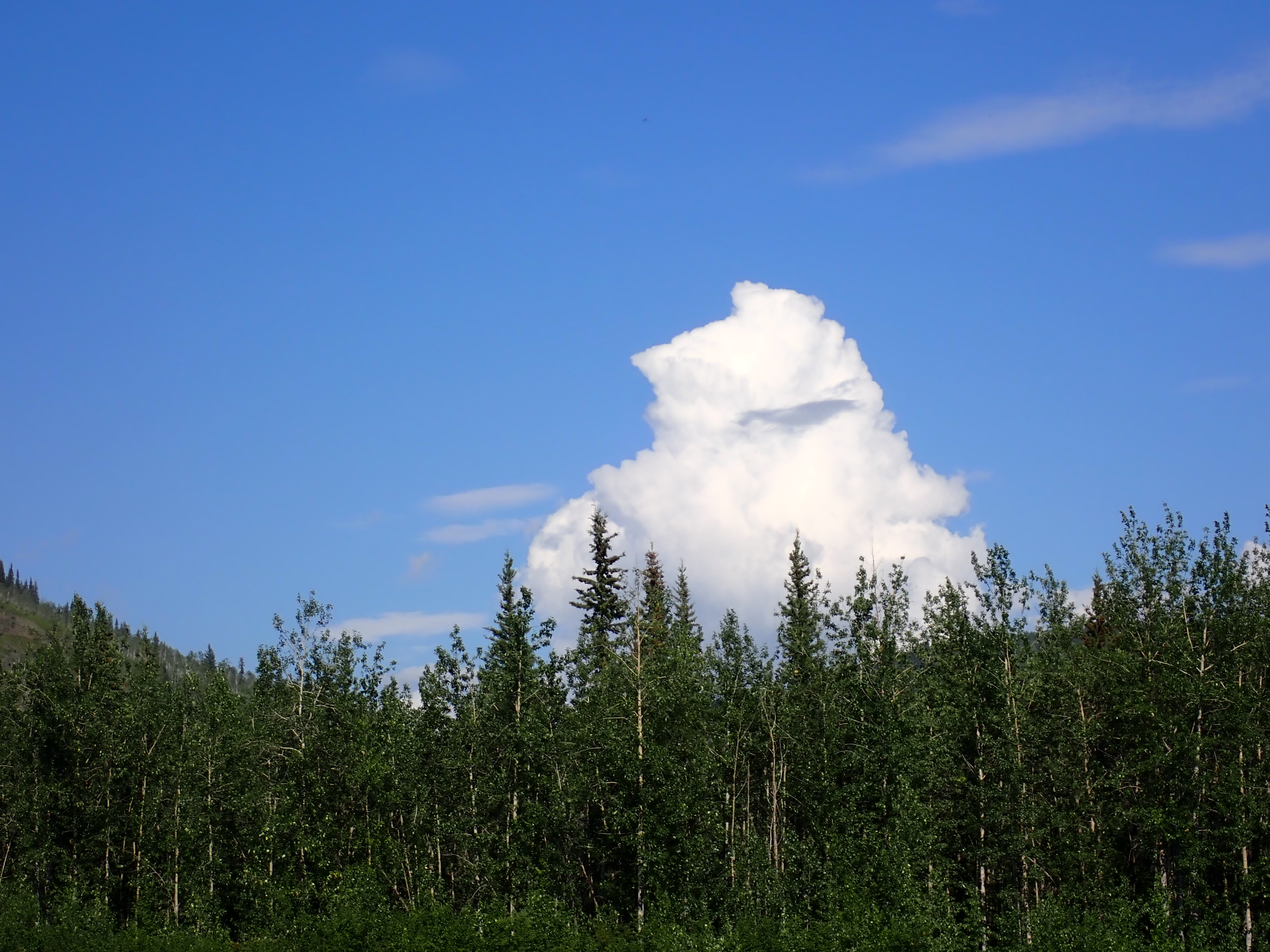
Now that we were paddling north we were seeing a large plume of smoke rising from behind the hilltops ahead. This was almost certainly from one of the two fires which were burning east and west of Dawson, threatening to cut off the road access to the residents of Dawson. As we paddled, we lined up the base of the plume with where we judged Dawson to be and tried to find any topology that would help us confirm the distance estimate. The fires in Dawson were well back from the river and didn’t pose any threat to paddlers. We wanted to convince ourselves that this wasn’t a fire on the riverbank between us and Dawson. It looked OK.
Back in 2019, we raced the Yukon River Quest from Whitehorse to Dawson. The river is the same, but the race structure is very different. Instead of 18 hours on 6 hours off, the YRQ has two rest stops – 7 hours at Carmacks after 300km and 3 hours at Coffee Creek after 520 km. 40 hours in Kate had succumbed to the power of suggestion and the trees on islands approaching Coffee Creek were turning into herds of elephants. Pre-race somebody had said it would happen and in doing so had planted the seed. I’m usually slower to hallucinate, but by the time we reached Stewart River my hallucinations were straight out of a James Cameron directed movie. I can still clearly remember a Templar Knight with jousting lance on horseback – It was a chestnut stallion with a white blaze on its forehead – charging through the trees on the riverbank.
When two friends from Sydney – Greg and Sue – reached the finish in Dawson, Sue was adamant that they had been in a involved in a hit and run accident with a small truck. I believe it was a white Daihatsu 5 tonne flatbed, left hand drive with a bald front tyre. While that was generally amusing, her agitation that Greg’s failure to get their license plate number was going to void their insurance was the cherry on top.
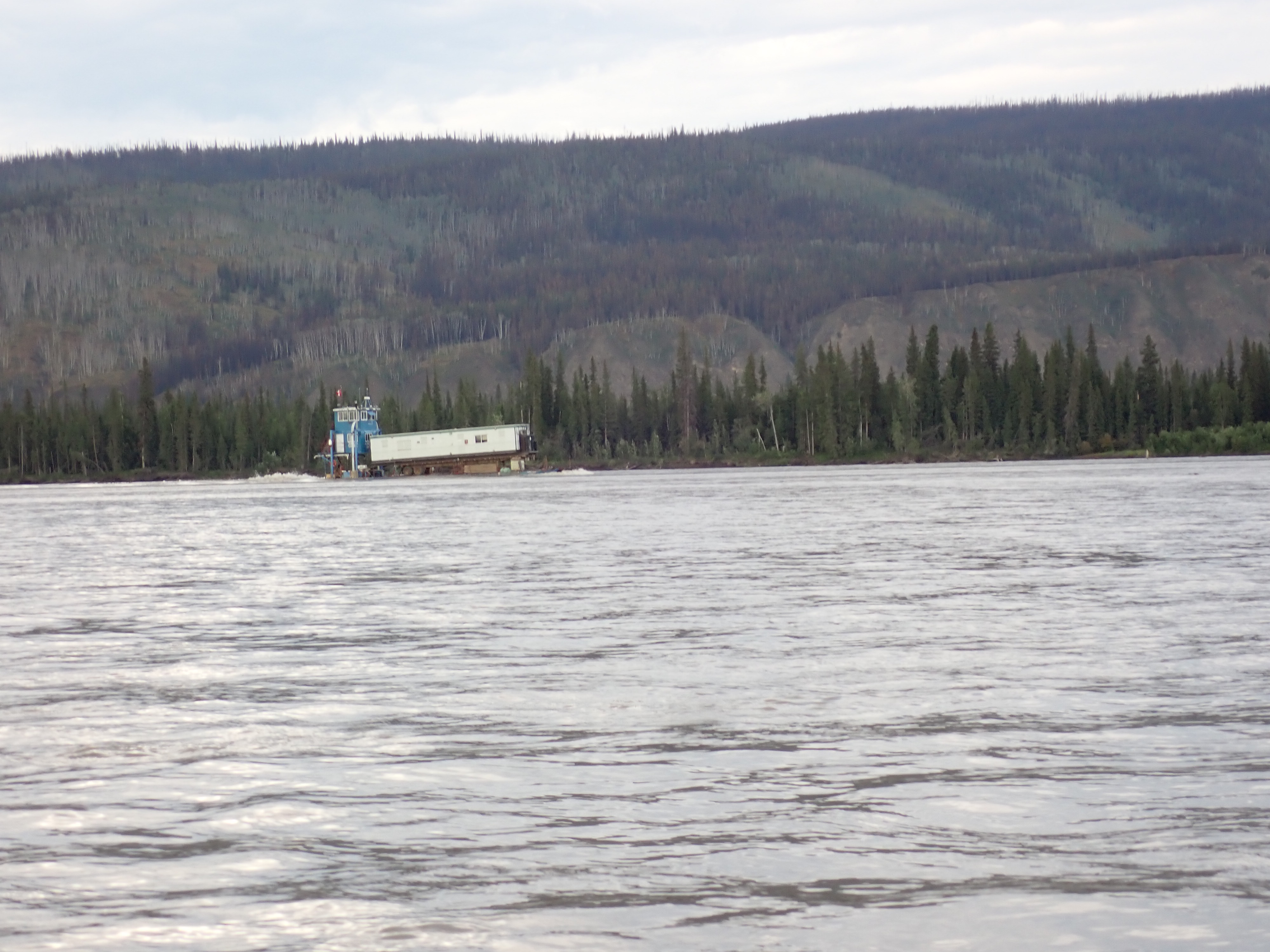
Fast forward six years and here I was staring at a truck driving down the river towards us. Or at least it was part of a truck. The trailer from a semi was on a barge which was coming upriver towards us. If the part of my brain responsible for hallucinations had been firing, I’d probably have written down the license plate number and given it to Sue when we got back to Australia.
As it was, the barge appeared to be transporting some sort of trailer mounted prefab office building upriver. Maybe they were heading to Coffee Creek or some other outpost along the river.
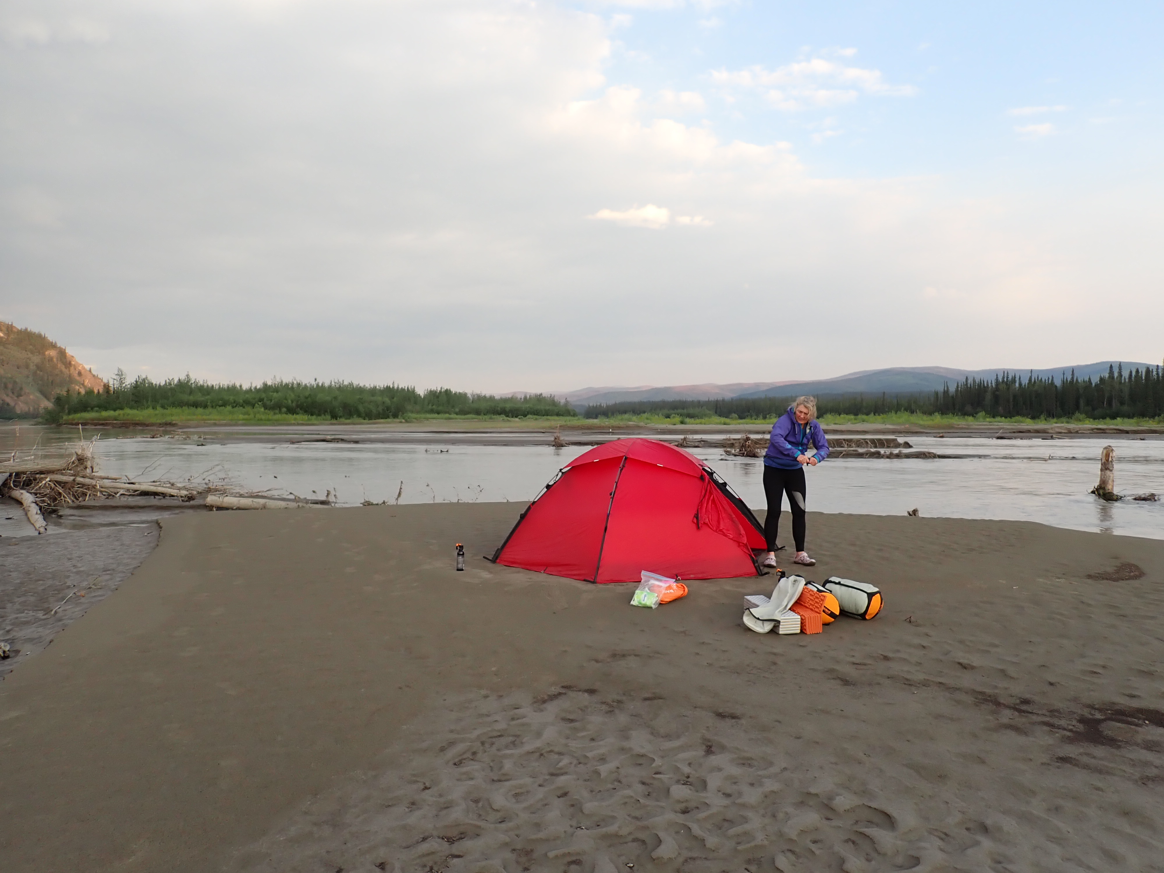
This was happening about the time we were starting to look for campsites. That being significant because there are two types of island that dominate this part of the river. Islands with tall vertical banks topped by mature trees that have been undercut by erosion making them inaccessible, and low silt bars which are only just about water level, making them easily accessible.
The barge though was introducing a new factor to the equation. As it was powering upriver with its curious load, the bow wave it was creating was washing over the top of the low accessible islands in front of us. We now had to consider the probability that if we pitched our tent on one of those islands, we’d be washed away by the tsunami if the barge made a return trip during the night. The captain had presumably seen us and probably judged we were far enough away that he didn’t need to slow. But presumably and possibly doth butter no parsnips.
We were now far enough north that the sun doesn’t go down enough to make darkness any more, which accounted for a barge navigating up the river as 10pm approached. With no prospect of night there was no reason to think the barge wouldn’t make a return trip in the next 6 hours, while we slept.
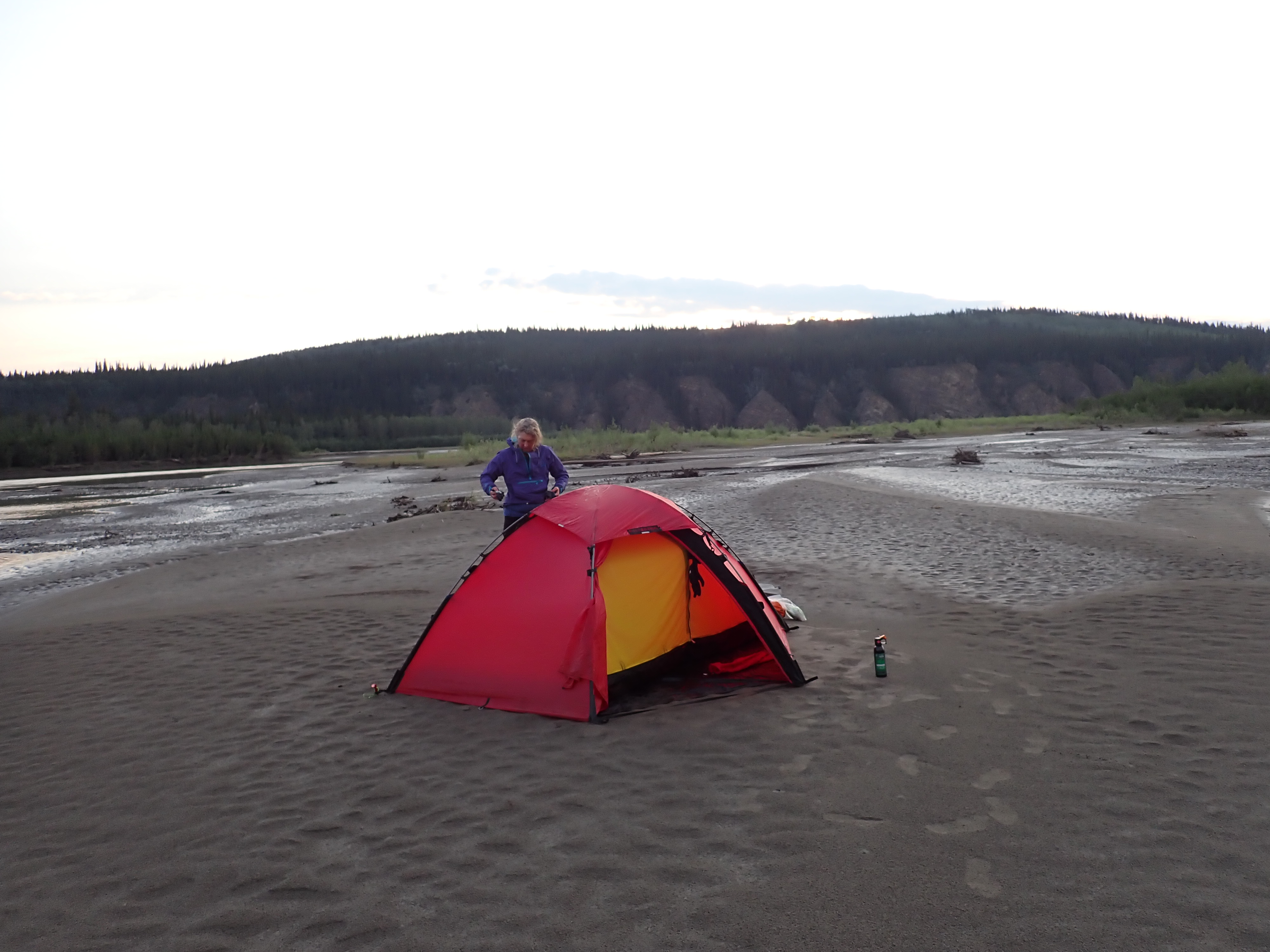
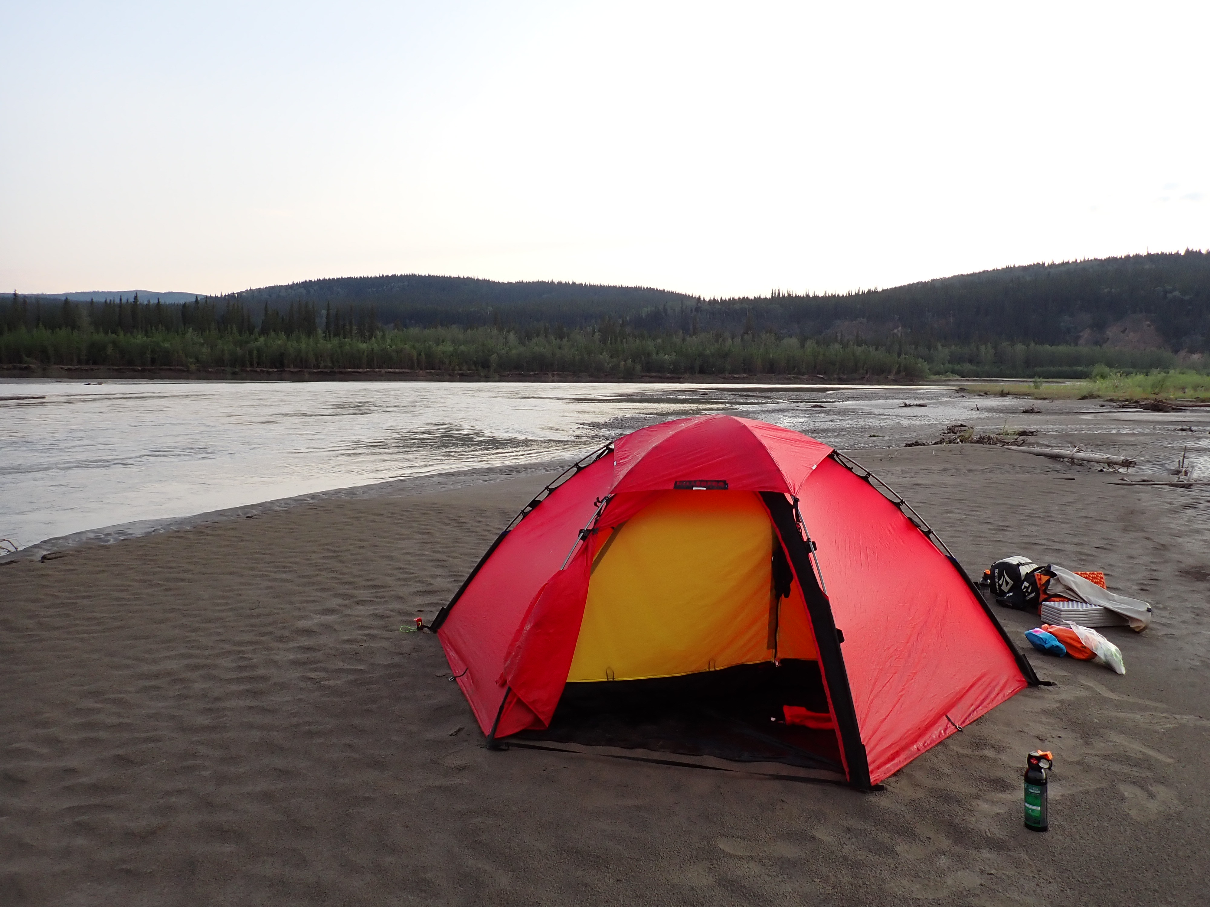
Pushing further downriver, we eventually came across a relative rarity. A low sandbar island which had been formed when the river level was higher and now close to a metre clear of the water level. It was mostly water saturated silt which has a sort of rubbery consistency when you walk across it. Water swells up as your weight presses down. It’s not a surface you want to pitch a tent on. If you pull a boat up on it, you can end up the the silt creating a sort of hydrostatic suction that will stop you sliding the boat back into the water.
Hint: Silt Sucks. Always beach the boat on stones to avoid getting your boat glued to the beach. The same goes for stepping out of the boat. Look for stones. Silt has claimed more than a few shoes over the years.
As we pitched the tent, we had a fairly earnest conversation about the wrist situation. We were both suffering and the general indicators were not encouraging. My wrist had developed a sickening CLICK at specific point in the paddle stroke. Disconcertingly the click was accompanied by a sudden release of tension. As I went through my stroke, I could feel one of my wrist tendons dragging through the cartilage sheath on the back of my hand. At the start of the flex, the tendon wasn’t moving freely through its tube enough to keep up the the hand which was being flexed by the tendons of the other fingers. The tension would increase until it overcame the friction and suddenly jumped to the end of it’s travel. It especially didn’t hurt, but it wasn’t a nice sensation14. It wasn’t every stroke, but it was getting more frequent as the miles went by15.
Adding to that, my forearm was swollen from the back of my hand, halfway to my elbow.
Digging into the first aid kit, we located some Volataren Gel, elastic tube bandages, and a roll of KT physiotherapy tape.
We conceded that unless we could use those to effect a significant reduction in swelling and inflamation, we would need to consider ending our race at Dawson.
Dawson is 700 km into the race and the last easy extraction point until Dalton Highway 785 km later.
At the current rate of decline, we couldn’t see how we would still be able to paddle by day 5.
| End Time | 12/07/2025 21:59:44 |
| End Location: | 63°28’7.6440″N 139°43’35.0760″W |
| Altitude: | 347.0 m |
| Distance: | 214 km |
| Paddling Time: | 17:19:03 |
| Non-moving time: | 00:10:59 |
| Average Speed: | 12.4 kph |
| Max Speed: | 18 kph |
| Race Position: | 7th |
Help encourage more posts by buying Steve a coffee…
Choose a small medium or large coffee (Stripe takes 10% and 1% goes to carbon reduction)
Or enter a custom amount
Your contribution is appreciated.
Donate- Dawson City has always been a vague attraction for me. Not because we have any actual connection to the founders or the person it was named after, but it is an interesting place, and I can pick up a tshirt with my name on it in almost any shop. ↩︎
- We don’t pay much heed to time during the day. It’s frankly depressing to know that it’s 8am and you have 14 hours of paddling ahead of you. ↩︎
- General rule is that anywhere regularly visited by people is a) a place where bears are more likely because of food opportunities and b) a place where the bears are habituated to humans and aren’t likely to startle and run away. ↩︎
- For those who bother to read the footnotes. This paragraph hasn’t aged well. ↩︎
- Some parts of the Yukon and Alaska were mapped during the cold war (circa 1957) and haven’t seen much attention since then. There’s no roads, no buildings, and mountains don’t move around a lot. Rivers on the other hand are quite dynamic. ↩︎
- Starting in Canada, the race is governed by Canadian Dept of Transport regulations, which are pretty conservative. Americans are similarly regulated by US Coast Guard standard which lean heavily towards safety with a margin. “Robust” would be a good description. Being internationals, DOT rules allow us to use lifejackets which meet the requirements of our port of origin. Australia with its beaches and warm climate has a surfski racing market which has supported the evolution of lightweight high performance racing lifejackets that are non-restrictive and comfortable to wear for long distances. You’ll occasionally see North Americans sporting the distinctive flouro-yellow designs from Vaikobi or the roadcone-Orange Mockes from South Africa. ↩︎
- That one size is 20 square centimeters of blade area so it’s not nothing ↩︎
- At 83 degrees I’m an anachronism. I learned to paddle in the 1990s about the time when some radical dared to suggest that the paddlers would perform better if they deviated from the 90 degree angle that had been the only option since Europeans discovered kayaking, which was more about manufacturing than biomechanics. By the time Kate started paddling around 2009 the norm was 60 degrees. Now there are religious followers of 60, 30, and zero degrees with some breakaways sects who favour 45 and 15. Every one of the groups will insist they are right and that if everybody else would just give it a try they too would see that their choice is the one true angle. In my case, 40 years of repetition and muscle memory has produced a paddle stroke that actually works pretty well at an angle 99.9% of paddlers would laugh at. ↩︎
- Kate doesn’t talk about things like this, being more pof a suffer in silence type. So I’m reading between the lines. ↩︎
- In Australia we’d call them snags. A tree or branch snagged on the riverbed with the current running through and around it are a common occurrence on Australian rivers, particularly where relatively slow rivers run through areas of bush. Americans call them log jams. To Australians, a log jam would be multiple trees washed into a pile that was jammed on the riverbed midflow. ↩︎
- Preparing for the Texas Water Safari in 2019 we snapped a 35ft four-person canoe in half around a 6 inch thick branch in knee deep water. The power of moving water when applied to a hull across a fulcrum will ruin your day. It was a long walk home that day. ↩︎
- the sediment is a mix of ancient volcanic ash, and glacial flour (rock that’s been pulverized to a powered by glacial movement). Fun Fact: It also contains Mercury. ↩︎
- For a given value of white – A sort of pale caramel beige ↩︎
- Because you have lots of time to think on the 1000, I spent many hours considering how to describe the feeling in my wrist. I eventually settled on having a catheter yanked out suddenly by an angry ex who has just discovered they’d been cheated on. Repeat 72 times per minute for the full effect. ↩︎
- Writing this a month after the race and Kate still has pain in her wrists. It’s getting better, but our weekend paddle was cut short at 10km. Mine is slightly better, but typing this tonight is causing a flare up across the back of my hands. ↩︎

2 thoughts on “2025 Yukon 1000 – Day 3 – Saturday”